At the Center for Conservation Innovation at Defenders, we use science and technology to improve conservation outcomes for imperiled species. For several years now, a critical part of this mission has included using images of the Earth taken by satellites to generate information about habitats and ecosystems. These data and tools provide key information in a variety of conservation challenges. It allows us to quantify habitat loss within the range of vulnerable species like the lesser prairie-chicken and dune sagebrush lizard to measure the effectiveness of the Endangered Species Act (ESA) at protecting habitat on federal and private lands and to map the potential for low-impact solar development. Like many conservation organizations, we usually rely upon free, publicly available images provided by satellites maintained by the U.S. government (Landsat) and the European Space Agency (Sentinel). While we and others have been able to accomplish a great amount with this data, the truly exciting potential of Earth observations is yet to come.

Satellite imagery is transforming conservation by allowing scientists and practitioners to inventory the Earth’s surface, measure changes and understand ecosystem dynamics in a level of detail never before possible. Yet this data revolution has fallen short in the critical area of actively monitoring and enforcing compliance with conservation laws, regulations and agreements. The ability to monitor protected areas and enforce compliance with conservation laws, regulations and agreements have long been the weak links in conservation laws and policies. And while this seems to be a task to which an abundance of satellite data is ideally suited, the idea of catching, for example, illegal land-clearing from space in near-real time has remained tantalizingly out of reach.
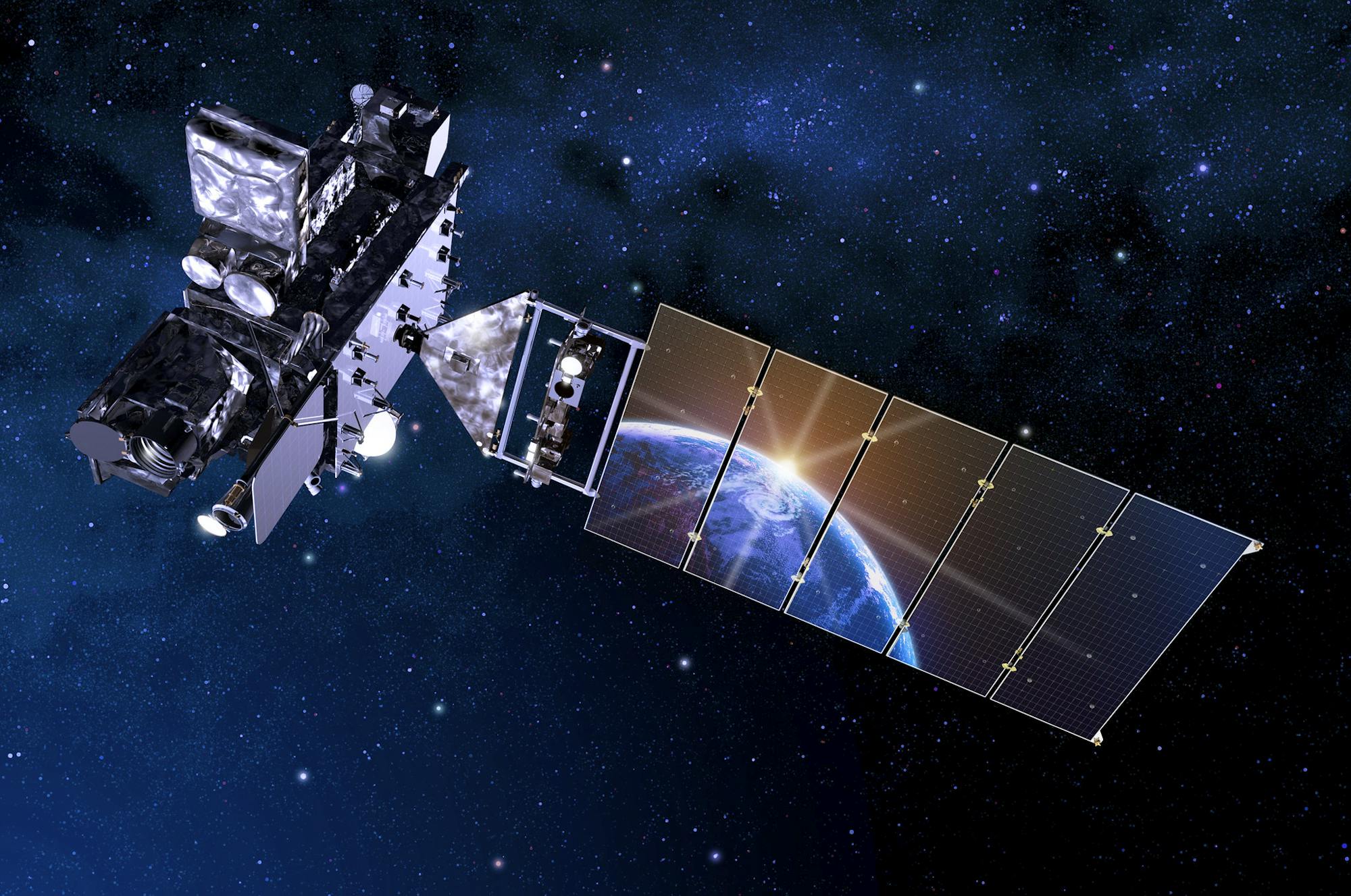
This is because the highest resolution satellites – those that collect the most detailed images of the Earth’s surface at the most frequent time intervals – are operated and maintained by private companies. The amazing images they generate are simply too expensive for many conservationists to use with any regularity. Without the deep pocketbooks of the energy, agriculture or defense industries, it is still difficult for conservation organizations or agencies to check the status of protected areas and important ecosystems with enough regularity to intervene or catch bad actors.
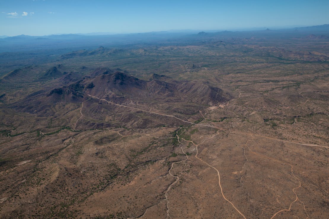
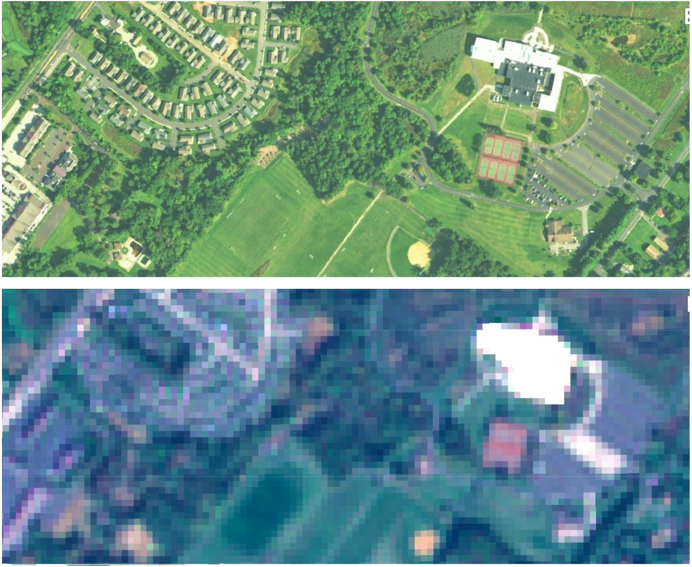
Recently, Norway’s Ministry of Climate and Environment announced an enormous and exciting step to across the tropics. Planet Labs is one of the leading private providers of commercial satellite imagery, with hundreds of satellites collecting high-resolution images of the Earth. Currently, the best publicly available satellite images have 10-meter resolution – meaning each pixel is 10 meters wide. Planet Labs provides 1 meter and sub-meter resolution imagery. To put this in perspective, the difference between a 10 m and 1 m resolution image is the difference between being able to make out buildings and being able to see individual cars.
More importantly, Planet Labs’ satellites collect images of the entire Earth daily, while publicly accessible satellites cover the Earth, at best, every five days. And if clouds happen to be there on the day a satellite flies over an area of interest, you’re stuck waiting until the following week. Getting images more often means the difference between simply recording damage and actively stopping habitat loss and other violations.
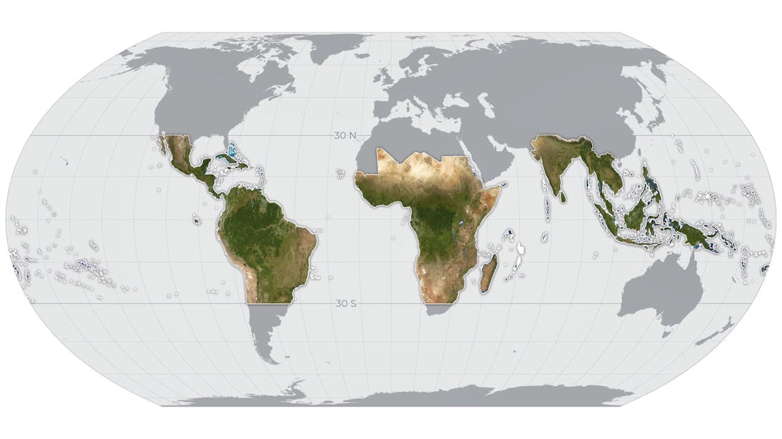
Having Planet Labs imagery in tropical areas is a great starting point because these regions contain high levels of biodiversity and are critical ecosystems for regulating global climate. But while rainforests deservedly receive a great deal of focus, other ecosystems are also under threat and would benefit from this kind of monitoring.
Across the globe, species continue to lose habitat to human activities, some of which may violate national and local laws, regulations and conservation agreements. The beauty of freely available satellite imagery is that conservationists don’t need to choose which places and species to look after. When these resources are publicly available, the hard work of monitoring the many landscapes and ecosystems that need protection is distributed among all the individuals, organizations and agencies dedicated to this mission.


